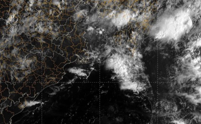
Cyclonic circulation in 2 days, heavy rainfall likely over these dists
Many places in Odisha have already started witnessing heavy rainfalls with thunderstorms due to the low pressure.
TNI Bureau: In the latest update, India Meteorological Department has reported a cyclonic circulation to form over east-central Bay of Bengal (BoB) around September 7.
Many places in Odisha have already started witnessing heavy rainfalls with thunderstorms due to the low pressure.
As per sources by IMD, Bhubaneswar, a low pressure area is likely to form under its influence in the subsequent 48 hours over west-central BoB.
Support Independent Journalism? Keep us live.
The formation of the low pressure area is likely to trigger a rise in heavy rainfall activities in several parts of the state.
According to the IMD, thunderstorms with lightning very likely to occur at one or two places over the districts of Angul, Dhenkanal, Mayurbhanj, Keonjhar, Jajpur, Cuttack, Khurda, Puri and Jagatsinghpur.
IMD has issued Yellow Alert for the districts of Bhadrak, Kendrapara Nayagarh, Boudh, Kandhamal, Kalahandi, Sonepur, Nabarangpur, Malkangiri, Koraput, Ganjam, Gajapati, Rayagada, Balasore for the next 24 hours.


Comments are closed.