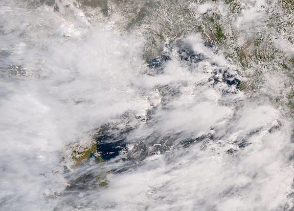
Insight Bureau: A Low Pressure Area has formed over north Odisha and adjoining south Jharkhand and Gangetic West Bengal.
Under the influence of the cyclonic circulation over south Jharkhand & neighbourhood, a Low Pressure Area has formed over North Odisha and adjoining south Jharkhand & Gangetic West Bengal with associated cyclonic circulation extending upto 5.8 km above mean sea level, the India Meteorological Department (IMD)’s regional centre said on Monday.
The weather department has predicted heavy rainfall in Odisha for the next five days.
The IMD has issued ‘orange’ warning and forecast heavy to very heavy rainfall at one or two places in Keonjhar, Sundargarh, Bargarh, Sambalpur and Balangir districts on Monday.
Support Independent Journalism? Keep us live.
Similarly, heavy rainfall is also likely to occur at isolated places in Boudh, Kalahandi, Nuapada, Kandhamal, Malkangiri, Koraput, Sonepur, Nabarangpur, Bhadrak, Jajpur, Cuttack, Deogarh, Dhenkanal, Mayurbhanj, Jharsuguda, Balasore and Angul.
The Met office has forecast heavy to very heavy rainfall in the districts of Mayurbhanj, Keonjhar, Sundargarh, Sambalpur and Deogarh on Tuesday.
Likewise, the meteorological department warned of heavy rains at isolated places in Kalahandi, Balangir, Sonepur, Bargarh, Sambalpur, Jharsuda, Keonjhar, Sundargarh, Mayurbhanj, Jajpur on July 6.
Similarly, heavy rainfall is also likely to occur at isolated places in Nuapada, Balangir, Sambalpur, Jharsuguda, Sundargarh, Boudh, Kandhamal, Nayagarh, Ganjam, Gajapati, Khordha, Puri, Cuttack, Jajpur, Bhadrak and Balsore on July 7.
In view of the heavy rainfall forecast, the SRC has asked all district Collectors to closely monitor the situation.


Comments are closed.